Website: thingiverse
Author: anoved
Price: Free Download
File format: .Stl 3d printable
Description:
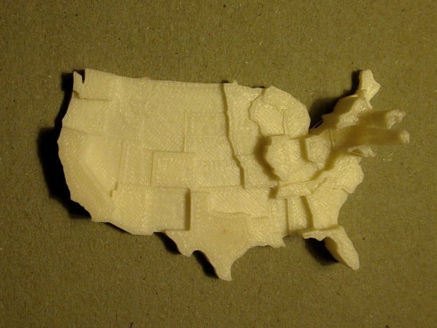
This is a customizable prism map of the contiguous United States. Values are represented by the extruded height of each state. (An extruded polygon is a prism.) The default dataset depicts population density: 2010 census total population counts normalized by state area in square kilometers. Click Open in Customizer to